Understand the Landscape
Natural assets, ecosystem services, risks, dependencies, land ownership, and change — mapped into one shared evidence base.



Spatial ecosystem intelligence for working landscapes
Ekoya turns ecosystem science, geospatial analysis, and policy insight into practical decisions for land, climate resilience, biodiversity, and natural capital.
For governments, farmers, land managers, conservation partners, and nature-dependent businesses.
A connected system
Food, water, and soil. Pollination, biodiversity, and carbon. Cooling, climate regulation, and clean supply chains. Nature quietly underpins infrastructure, tourism, community well-being, and business continuity — the working capital beneath almost every land-based decision.
Yet these relationships are usually missing from the maps, plans, budgets, investment decisions, operational systems, policies, and monitoring that actually shape land. Ekoya makes them visible, decision-relevant, and actionable.
Selected work
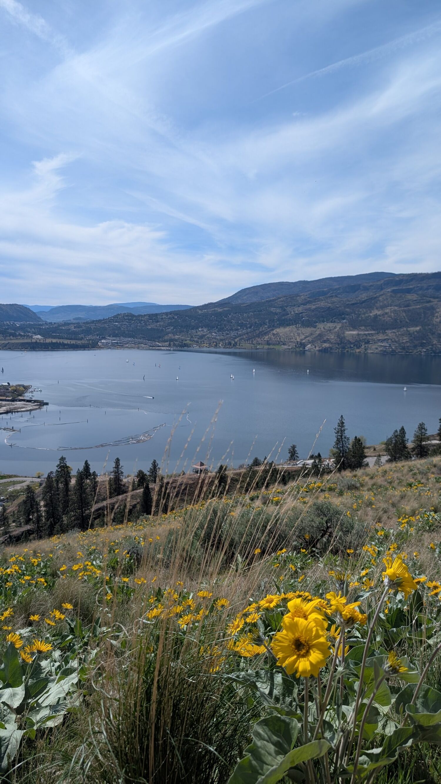
Explore selected applied work across urban, agricultural, protected-area, and working landscapes. Each project shows how spatial evidence was translated into planning, policy, conservation, or management relevance.
Based in Canada and open to projects internationally, Ekoya works across urban, agricultural, and resource-dependent landscapes wherever better nature-informed decisions are needed.
Neutral basemap © Esri, HERE, Garmin. Markers are approximate regional locations — not study boundaries, private property, or sensitive locations.
Select a location to see the project.
How Ekoya works
One connected method that moves from understanding a landscape to acting on it — and tracking whether it worked. Select a stage to see the questions, analysis, deliverables, and decision value.
We build a clear picture of natural assets, ecosystem services, biodiversity, connectivity, climate risks, land ownership, beneficiaries, dependencies, impacts, and how the landscape is changing.
“What do we have, where, and who depends on it?”
A shared, trusted picture everyone can plan from.
We compare scenarios, priorities, trade-offs, opportunities, intervention locations, costs, risks, feasibility, and who is responsible — so choices are transparent and defensible.
“Where should we focus, and what are the trade-offs?”
Confidence about where action matters most.
We turn evidence into policies, plans, management actions, nature-based solutions, investment priorities, funding concepts, pilot projects, partnerships, and implementation roadmaps.
“How do we actually make this happen?”
A credible path from evidence to on-the-ground change.
We create transparent baselines and repeatable systems to track conditions, actions, outcomes, ecosystem services, operational resilience, land-cover change, and progress toward nature-positive goals.
“Is it working, and how do we show it?”
Credible evidence of progress you can communicate.
What Ekoya does
Three broad outcomes, delivered across urban, agricultural, protected-area, and working landscapes. Explore the full six service areas on the solutions page.
Natural assets, ecosystem services, risks, dependencies, land ownership, and change — mapped into one shared evidence base.
Scenarios, trade-offs, restoration, protection, adaptation, and spatial priorities — so effort goes where it matters most.
Policies, nature-based solutions, funding, management, indicators, and monitoring — evidence carried through to results.
Who Ekoya works with
A farmer, a municipality, a land manager, a business, and a conservation group can share one landscape and need very different things. Ekoya builds one shared evidence base, then tailors the recommendations to each decision.
Which natural assets reduce risk and cost, and where to invest in resilience.
Where soil, water, and pollinators support yield — and where stewardship earns support.
Management and restoration priorities across a large, mixed-ownership area.
Where operations depend on nature, and where action reduces exposure.
Connectivity, restoration, and fundable projects across partners.

Ehsan Pashanejad, PhDFounder and Principal
Founder & professional credibility
Ehsan Pashanejad earned his PhD in Earth and Environmental Sciences from the University of British Columbia, specializing in ecosystem services, spatial planning, ecological connectivity, and the translation of landscape science into policy and management decisions. He works at the science–policy–practice interface, helping governments, farmers, land managers, conservation organizations, and nature-dependent businesses turn complex ecological and geospatial evidence into practical planning, investment, policy, and operational decisions.
As a Fellow with the Intergovernmental Science-Policy Platform on Biodiversity and Ecosystem Services (IPBES), Ehsan contributes to the global methodological assessment on biodiversity-inclusive spatial planning and ecological connectivity — giving Ekoya direct experience with international evidence standards and the challenge of turning science into options decision-makers can use.
Why this experience matters for clients
Intergovernmental Science-Policy Platform on Biodiversity and Ecosystem Services
IPBES
Contributes international assessment experience in biodiversity-inclusive spatial planning, ecological connectivity, and translating scientific evidence into policy-relevant options.
International Institute for Applied Systems Analysis
IIASA
Developed systems-analysis and scenario-modelling experience for understanding trade-offs among agricultural production, biodiversity, and landscape change.
Canadian Agri-Food Policy Institute
CAPI
Translated agricultural landscape research into accessible policy recommendations and supported dialogue among producers, conservation organizations, and policy participants.
Young Ecosystem Services Specialists Network
YESS
Provides international professional leadership and collaboration across ecosystem-services science, practice, and knowledge exchange.
Research into practice
Applied reports and peer-reviewed research, explained in plain language — always with why it matters and how to access it.
Start with the decision
Tell Ekoya about the place, operation, challenge, and outcome you are working toward.